
AT & Ortho
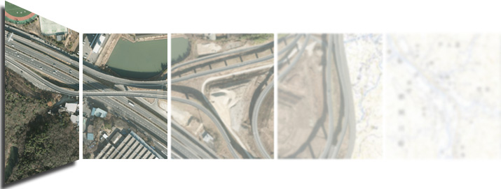
AT&ORTHOPHOTO section is responsible for Photogrammetry. We are mostly working on an Aerial Orthophoto mapping, which currently is a very necessary technology as technological growth renders expansion of urban zone and developments in various fields as well as changing of natural resources or even disasters in various forms including many other reasons which are necessary to have equipment with high resolution to see present condition clearly in order to be used in studying, planning and analysis for development of prevention from disasters further. Due to the foregoing reasons, we are well prepared to provide Aerial Orthophoto mapping service with advanced technology, rapidly and efficiently.
We are providing many services as below:


Plot
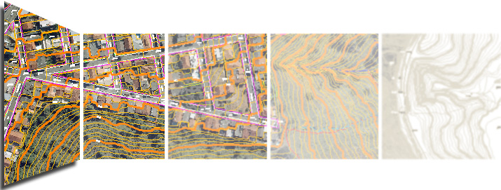
Plot Section is responsible for producing line mapping in terms of both 2 dimensions and 3 dimensions from aerial photograph and satellite imagery which the obtained data is high solution and high quality of images. Most of its implementation comes from Japan and there is some parts of them come from Thailand and other countries. Moreover, the main computer programs used in this work are Summit Evolution and AutoCAD Map 3D programs.


Others


-

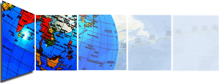
- Geographic Information Systems (GIS)