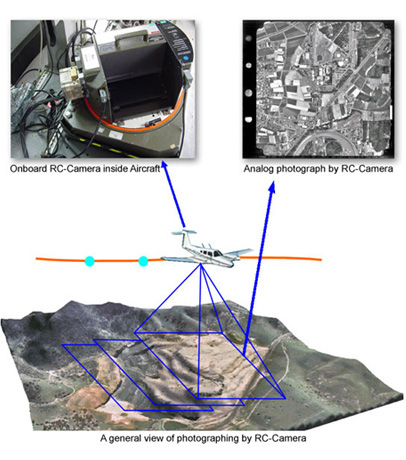
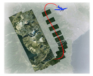
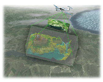
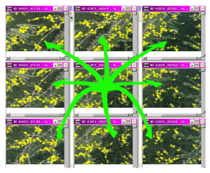
Aerial Triangulation (AT)
We provide the triangulation network that made from the high resolution aerial photograph, with both of Aerial Frame (RC) type and CCD Frame type, such as UCD, UCX, UCXP and DMC. Our geography co-ordinates are created by PASCO’s specialist technicians. They operate the horizontal, control vertical, read and measure the coordinates, and use the digital technologies of MATH-AT from Inpho Application to connect the points on the photos automatically. And they also analyze and edit the blocks to provide the highest quality and highest accuracy geography co-ordinates. Besides, to make higher accuracy of the geography co-ordinates, there is the “BINGO” software that will help us to improve the calculation accuracy…By the way, how does it work?
Normally, we use 360 degrees angles to calculate the co-ordinates. But if you use the BINGO software you will be able to select the angles up to 400 degrees to increase the accuracy of calculations. When taking the aerial photo, the data that we got is not only X, Y, Z levels, but also Omega, Phi, Kappa that are the inclination data between camera and ground. We multiply the above levels with 1.11111 before the calculation by using BINGO software. And we will keep editing the Tie point, GCP and the brandish angle of flying block until the accuracy gets to standard or higher.
Point Measurement and Transfer
That why PASCO’s aerial triangulation networks or AT block have higher accuracy and be accepted by customers around the world.
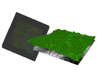
DSM , DTM and Contour Generation
We also provide the 3D topography models with both of DSM (Digital Surface Model) and DTM (Digital Terrain Model) types by using the highly effective surrounding model technology of MATCH-T from INPHO Application. DSM and DTM will be automatically calculated with a high accuracy of the numerical result and completeness. Moreover, there is the DT-Master from INPHO Application that PASCO technicians use to correct the height point of DTM to make the digital 3D model’s accuracy more correct.
DSM Generate
with MATCH-T
TIN Generate
with DTMaster
DTM Editing
with DTMaster
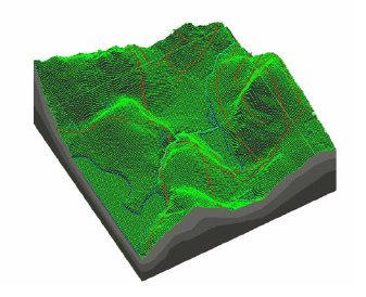
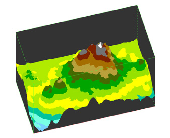
And we also make and provide the Vector layers of the ground height and building height by simulating the numerical topography height point.The above data will be checked in real-time by smart TIN and CONTOUR, which help you to correct the DTM data faster with the highest quality. In the Contour Generation process, we use DTM data that already corrected the vertical height, to simulate the topography height line model automatically. Then we will verify the quality control again in the 3D system.
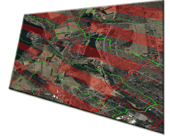
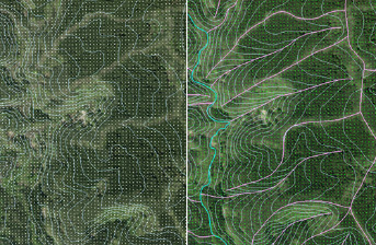
Contour Generated
in Mountainous Area
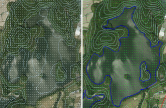
Contour Generated
in Lake Area
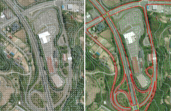
Contour Generated
in City Area
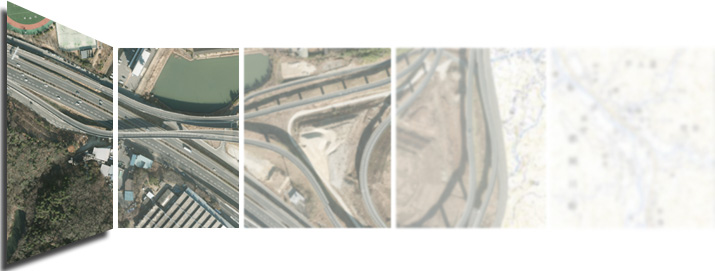
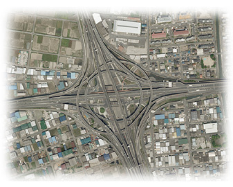
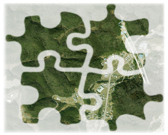
Digital Orthophoto and mapping
Digital Orthophoto and mapping service: PASCO is using the OrthoMaster technology from INPHO Application to make the Ortho Rectification. With the efficiency of OrthoMaster, the middle of the photo where is the best part of the picture to get the highest quality and accuracy. That is the fundamental method to make the single or quite a large block of the aerial photograph in the future. By using the highest technology of OrthoVista, we will be able to mosaic the big Orthophoto faster.
Colour Balancing
with Ortho Vista
Mosaicking
with OrthoVista
The OrthoVista also able to calculate the Seam-lines(automatically avoid the building). Furthermore, the connections between pictures are smoothly connected and the differentiation of light, color, and contrast of the mosaic picture are naturally connected. And there is the OrthoVista Seam that we use to edit the Seam-lines which is helping us to make the Orthophoto faster and smoother based on high quality and correct accuracy. Our products are being accepted to customers around the world.
Seamline with Seam Editer